
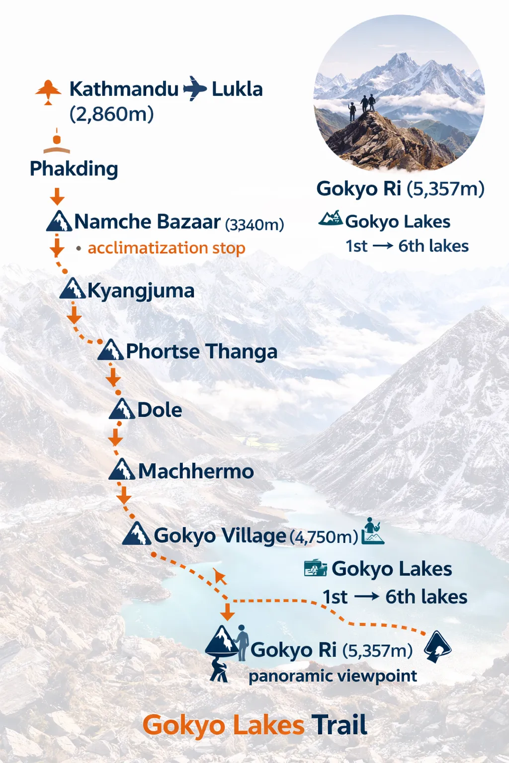
Places & Stops
Villages & Viewpoints
Interactive Trail Map
Explore the
Gokyo Trail
Use the interactive map to see the terrain, and select a trail stop above to view detailed location data.
Logistics & Stats
Understanding the Gokyo Lakes Trail Layout
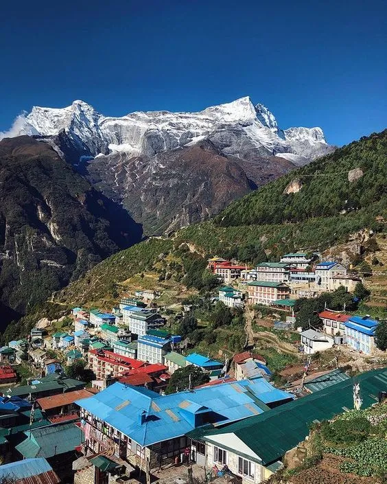
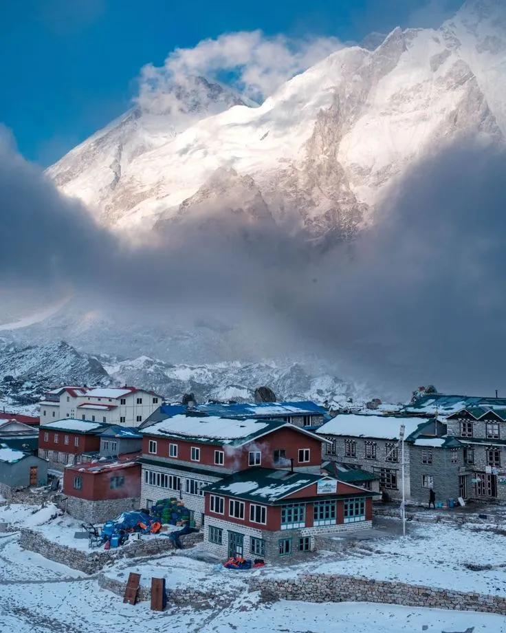
The Gokyo Lakes trek is a stunning alternative to the traditional Everest Base Camp route. It takes you through the Dudh Koshi valley, branching off towards the Gokyo valley after Namche Bazaar.
Frequently Asked Questions
Everything you need to know before you hit the trail
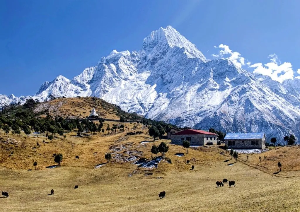
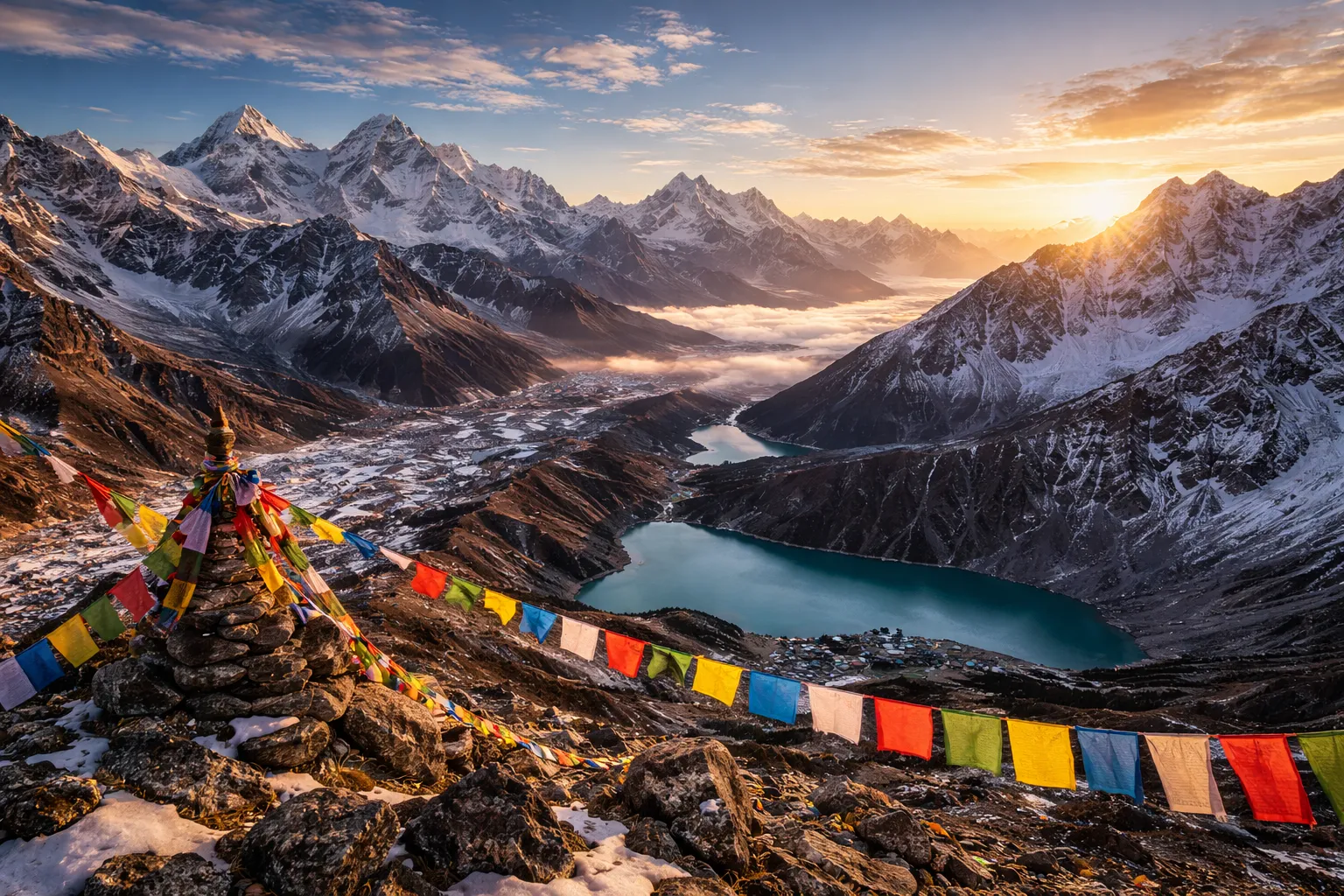
Gokyo offers superior panoramic views (4 of the 14 highest peaks), pristine turquoise lakes, and significantly fewer crowds than the main EBC highway, providing a more serene and authentic experience.
Common Questions
Q: Why choose Gokyo over Everest Base Camp?
Gokyo offers superior panoramic views (4 of the 14 highest peaks), pristine turquoise lakes, and significantly fewer crowds than the main EBC highway, providing a more serene and authentic experience.
Q: What fitness level is required for trekking in Nepal?
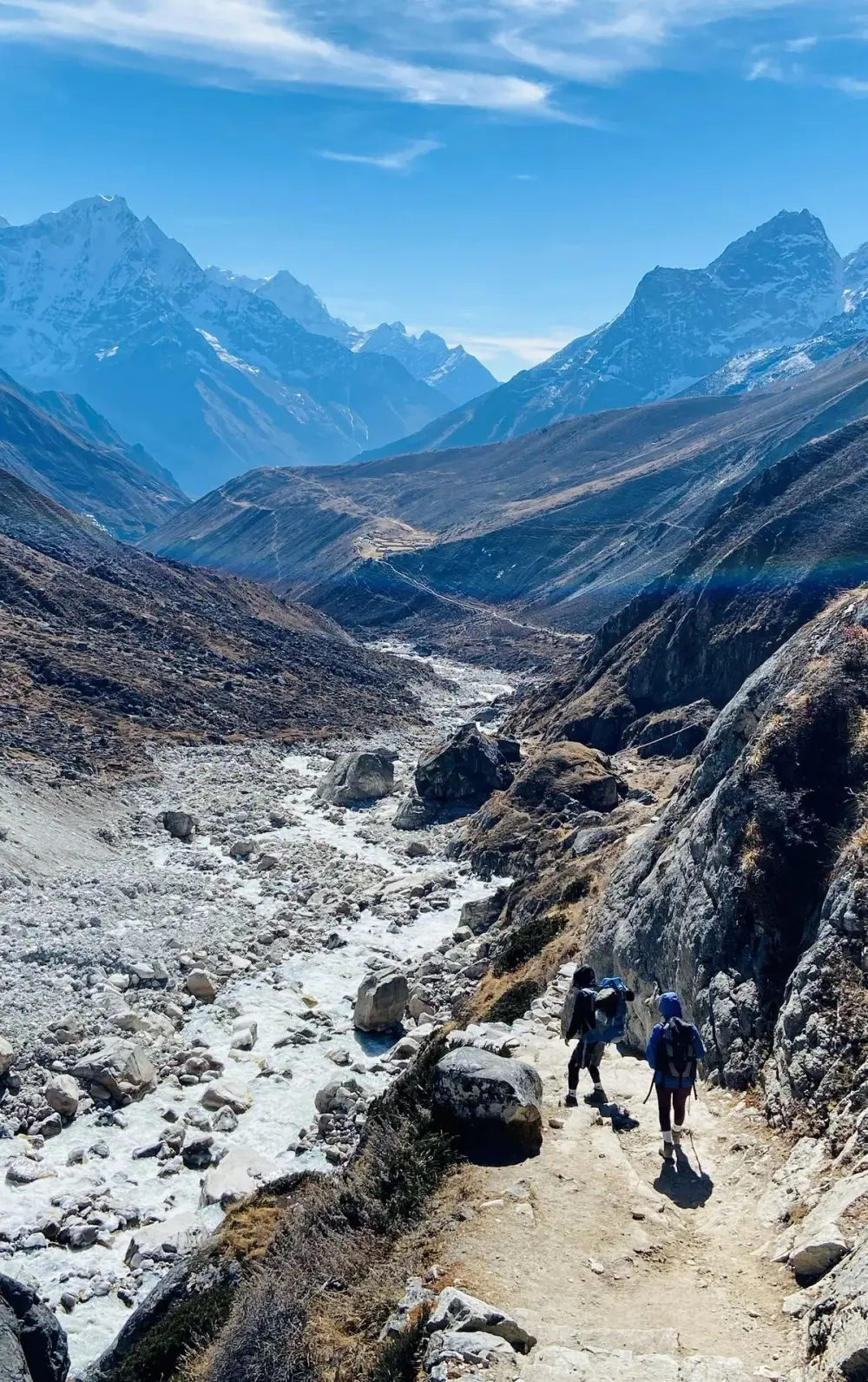
A moderate to high level of fitness is required. You should be comfortable walking 5-7 hours a day with a light pack. Cardiovascular training and leg strength are key preparations.
Q: What happens if I get altitude sickness?
Our guides are trained to spot early AMS symptoms. The primary protocol is to stop ascending, hydrate, and if symptoms worsen, descend immediately. Helicopter evacuation is available for emergencies.
Booking
Q: How far in advance should I book my trek?
We recommend booking 3-6 months in advance, especially for peak seasons (Spring and Autumn), to ensure flight availability to Lukla and the best teahouse accommodations.
Q: What is your cancellation and refund policy?
We offer a full refund for cancellations made 30 days prior to departure. Cancellations within 14 days are subject to a 50% fee. We recommend travel insurance to cover unexpected cancellations.
Preparation
Q: Is there WiFi and electricity on the trail?
Yes, most teahouses offer WiFi (via AirLink or EverestLink cards) and charging stations for a small fee ($3-$7). Note that reliability decreases as you go higher.
Q: How much extra cash should I bring?
We recommend $25-$40 USD per day for personal expenses like snacks, hot showers, charging, WiFi, and tips for your crew.
Safety
Q: Does my insurance need to cover helicopter rescue?
Yes, it is mandatory. Your insurance must specifically cover trekking up to 6,000m and include emergency helicopter evacuation.
Q: Is the water safe to drink?
We do not recommend drinking tap or stream water. Use water purification tablets, filters, or purchase boiled water at teahouses to stay safe.
Permits
Q: What specific permits are required for Gokyo?
You need the Khumbu Pasang Lhamu Rural Municipality Permit and the Sagarmatha National Park Entry Permit. We handle all paperwork for our trekkers.
Q: Do I need a guide for this trek?
As of 2023, the Nepal government has made it mandatory for solo trekkers to hire a licensed guide in the Everest region for safety and environmental protection.
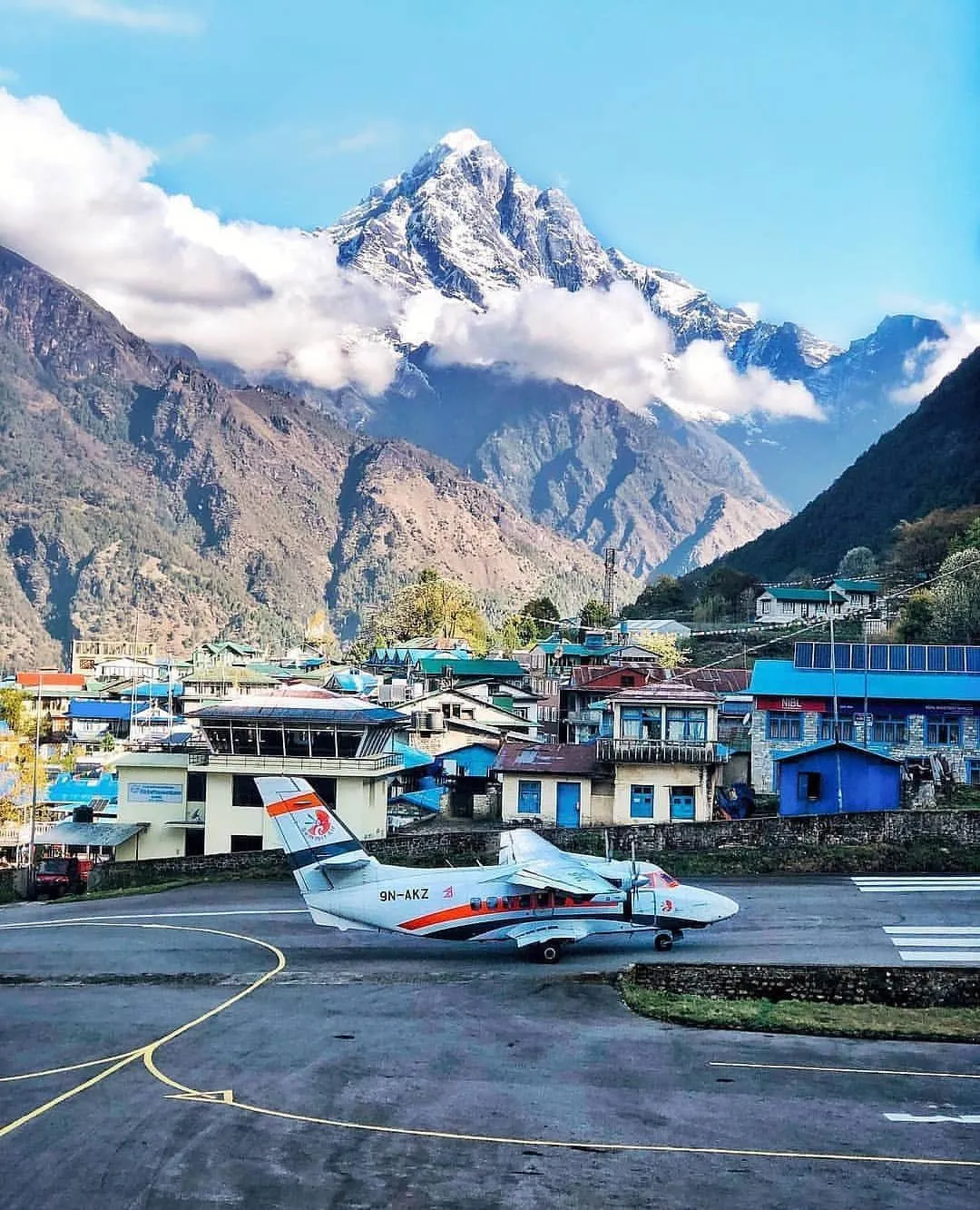
Q: What is the luggage limit for the Lukla flight?
The weight limit is 15kg total per person (10kg for checked bag, 5kg for hand carry). Extra weight can be paid for but is not guaranteed to fly on the same plane.
Need a custom itinerary?
We can design a trip tailored specifically to your needs, fitness level, and schedule. It only takes 2 minutes to start.